Island
Discover Ihavandhoo — and invest in it.
Haa Alif Atoll, in the far north of the Maldives
A large fishing island in Haa Alif Atoll, the northernmost atoll of the Maldives
The island in pictures
Sample images. Use the left and right arrow keys to change photo.
6.9500° N, 72.9200° E
Explore the island
Heritage, people, fisheries, businesses and local services, all in one place.
Island heritage
Historic places, mosques and landmarks, each with a short introduction and photo.
Registry of Hafizun
Islanders who have memorised the Quran, with their year of completion.
Island population
Population, households and island size at a glance.
Other institutions
Schools, health, government and community institutions with photos and contacts.
Associations and foundations
Island associations with their logo and the contact of their head.
Fisheries
Fishing vessels and salted-fish producers of the island.
Businesses
Shops, restaurants and other businesses on the island.
Island tradespeople
Carpenters, electricians, builders and mechanics with contact numbers.
Taxi
Cars, pickups and buggies for hire, with phone numbers.
History and character
HA. Ihavandhoo is a large island in Haa Alif Atoll, the northernmost atoll of the Maldives, and one of the main fishing communities of the north.
Fishing and the fish trade are the backbone of the local economy, supported by the harbour, with small businesses and agriculture alongside. The island is close to Hanimaadhoo airport in neighbouring Haa Dhaalu Atoll.
Land is limited: the council receives more applications for housing and commercial plots than it can currently allocate.
Island statistics
Every figure shows its source and the date it refers to.
As of December 2025 · Sample data
As of December 2014 · Sample data
As of December 2025 · Sample data
As of December 2025 · Sample data
As of June 2026 · Council records (sample)
As of June 2026 · Council records (sample)
As of September 2026 · Council records (sample)
As of September 2026 · Council records (sample)
As of September 2026 · Council records (sample)
Population growth since 2014: +10%
Wards
| Ward | Households | Share of households |
|---|---|---|
| Ward 1 | 180 | Ward 1 |
| Ward 2 | 175 | Ward 2 |
| Ward 3 | 170 | Ward 3 |
| Ward 4 | 175 | Ward 4 |
- Ward 1
- Households
- 180
- Share of households
- 26%Ward 1
- Ward 2
- Households
- 175
- Share of households
- 25%Ward 2
- Ward 3
- Households
- 170
- Share of households
- 24%Ward 3
- Ward 4
- Households
- 175
- Share of households
- 25%Ward 4
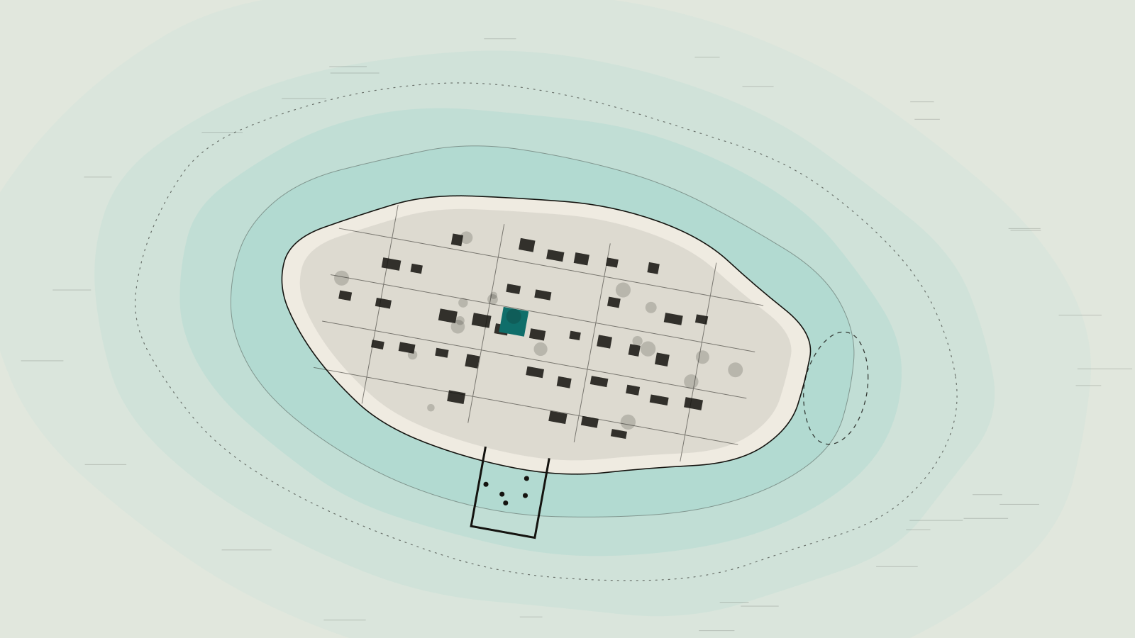
Map and facilities
Filter by category, then select a pin or a facility to see details.
Facilities directory
Google Maps
PlaceholderOn the live site an interactive Google Maps view of the island loads here, only after the visitor agrees. This prototype shows a static frame and loads no third-party code.